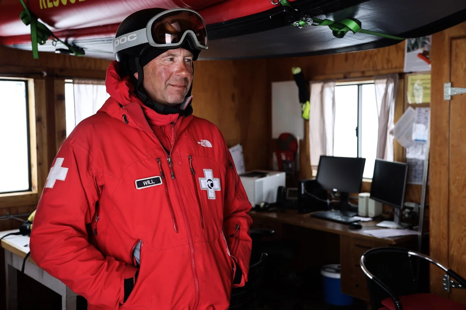
In the dispatch center at California’s Palisades Tahoe on a late-season storm day at the end of April, the phone is ringing with demands and updates.
A skier is stuck in a creek off Solitude Chair; Mainline Pocket is being opened to the public; and patrol is finishing up their morning avalanche control work. Eleven patrollers are still on routes at 9:35 a.m. The dispatcher behind the desk, a multitasking wizard named Elise Whittall, responds to urgent calls with complete composure.
A map of the ski resort on Whittall’s computer is running a program called Got-U, which uses GPS data on the ski patrollers’ phones to show the real-time location of every patroller on duty. Right now, it’s showing 11 red dots with each patroller’s name as they move around the mountain. That mapping ability adds data and nuance to mountain operations, for sure, but that alone isn’t groundbreaking.
Here’s what is: Got-U’s patent-pending algorithm uses the inertial sensors on the patrollers’ phones—like the accelerometer and gyroscope—to measure the skiers’ motion and automatically detect if they’ve been caught in a critical situation, like an avalanche or a deep-snow submersion.